
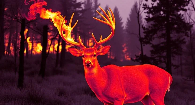

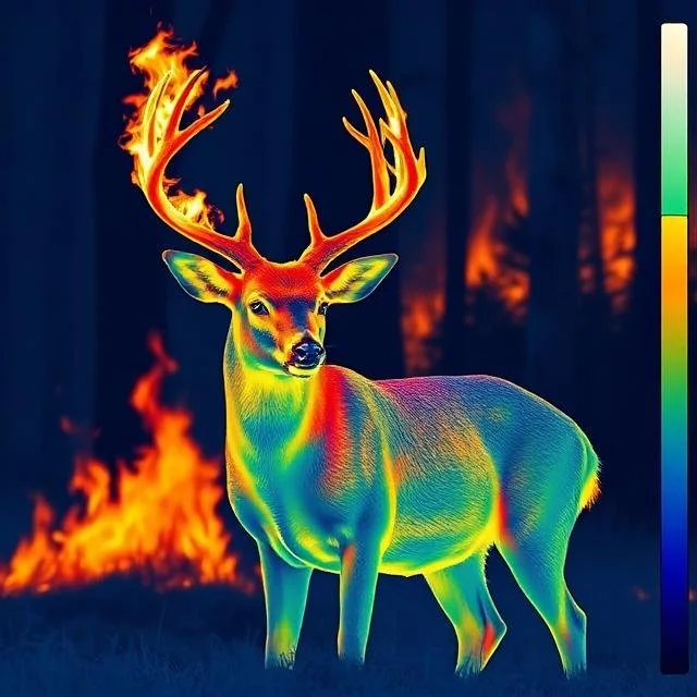
Let HeatSeeker thermal drone solutions find that trophy you’ve been missing.

During AI tracking, the drone will track and maintain focus on the target while regaining a lock if the target is lost. (1:24 mark)
Drone photography has advanced dramatically in the last few years. Add to that the advancements in thermal imagery and you have the perfect tool for hundreds of applications. See our Services and FAQ pages for more. Not sure if aerial imagery can fit your needs? Book a consultation and we can discuss what drone photography can do for you.
AI tracking and laser ranger finders can identify and precisely locate people, animals and vehicles. Equipped with a spot light and high powered speakers, these are exceptional tools for search and rescue.
Contact us.
joe@heatseekerthermaldrones.com
(502) 791-6447
Near Brandenburg, KY